Synthetic Data for Maritime AI: Enabling Robust Perception and Navigation
Build autonomous systems for object detection, collision avoidance, automated lookout, threat perception, depth estimation and fine-grained classification.
Trusted by the teams building autonomy on the water





Pixel-Perfect Labeled Training Data & Scenario Metadata
Move beyond basic 2D boxes with precise segmentation and rich metadata, helping your AI gain deeper scenario understanding, with no manual labeling required.
Simulate Every Maritime Condition Before Deployment
Simulate diverse maritime environments and weather conditions by generating synthetic data across various conditions, including fog, mist, rain, snow, high winds and night-time operations. Recreate critical scenarios that are rare or dangerous to capture in real-world training.
Depth Estimation and Ranging for Maritime AI
Generate high-quality labeled datasets that enable precise range estimation for object detection, automatic target recognition (ATR), collision avoidance, and safe navigation through congested waterways or narrow channels. Help maritime AI teams accurately estimate distance and depth between vessels, floating obstacles, and shoreline structures in complex maritime environments.
Evaluating USVs for Environmental Data Collection Using Time-Series Scenarios
Evaluate autonomous vessel behavior across mission timelines using synthetic time-series scenarios. Simulate changing sea states, vessel traffic, and sensor noise to reflect changing conditions. Continuously evaluate perception and navigation performance, using the F1 score to measure detection accuracy for robust USV (unmanned surface vehicle) operations.
Fine-grained Classification for Maritime AI
Train AI models for fine-grained classification using high-quality synthetic maritime datasets built for precision. Accurately distinguish between similar vessel types, objects, and rare edge cases. Capturing subtle visual cues helps AI make better navigation decisions, increase operational reliability and reduce the risk of collisions.
All-Weather USV Training in Extreme Sea States
Train USVs to operate in high sea states and extreme conditions using synthetic environments and data that replicate high waves and real-world environmental effects. Improve detection accuracy with labeled synthetic data that reduces training time and ensures reliable performance across all operational conditions.
Port Monitoring and Night-Time Harbor Entry with Sensor Fusion
Enable port monitoring and vessel detection in low-visibility, night-time conditions using a combination of fused Radar, Thermal, LiDAR, SAR, RGB, Stereo, SWIR, and MWIR sensors. Detect and track multiple vessels and unlit obstacles in congested harbor environments.
Dynamic Obstacle Avoidance in Shipping Lanes
Advanced maritime AI collision avoidance systems enable real-time obstacle detection and collision monitoring in busy shipping lanes. Identify floating debris, buoys, and small craft with high accuracy and use predictive trajectory modeling to flag high-risk obstacles and trigger timely collision alerts for evasive action.
Hazard Detection for Safe and Autonomous Navigation
Detect navigational hazards like floating debris, damaged buoys, and uncharted obstacles with AI-trained maritime systems. Generate synthetic data for hazard detection in maritime environments by recreating rough seas, low-visibility conditions, and congested shipping lanes to enable early risk identification and safer navigation.
Simulating Marine Wildlife Detection for Maritime AI
Train maritime AI systems to detect marine mammals such as breaching whales and dolphins, often traveling in pods, across diverse ocean conditions. Simulate varying sea states, lighting, and perspectives to strengthen wildlife detection capabilities and enable safer, more compliant maritime operations.
Maritime Asset Library: Drag-and-Drop
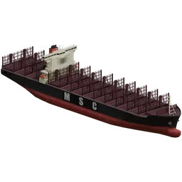
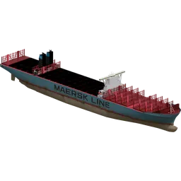
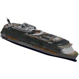
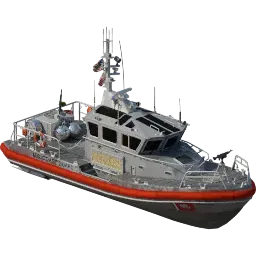
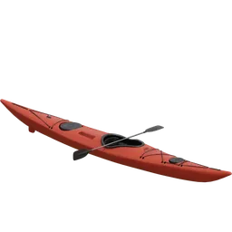
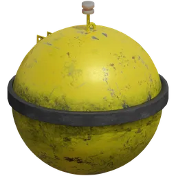
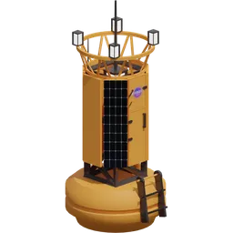
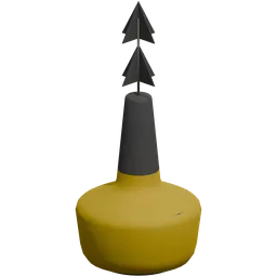
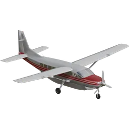
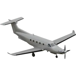
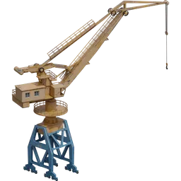
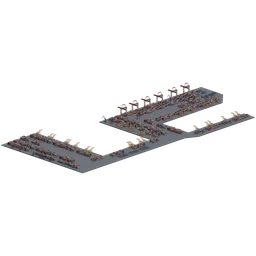
Stardust gives you access to thousands of assets, from floating obstacles, buoys, inflatables, kayaks, and persons overboard, to build realistic scenarios. Go beyond real-world data by introducing experimental objects like the killer tomato to test how perception models handle unexpected shapes and anomalies.
Build Complex Maritime Scenarios in Minutes
Position vessels, set traffic patterns, configure sensor placements, and adjust conditions, with no 3D expertise required. Generate thousands of labeled training images to improve model performance and reliability, reducing the frequency of manual takeovers.
Automated Data Labeling for Maritime AI
Stardust builds automated data labeling into maritime perception workflows, enabling unlimited object detection, image classification, and segmentation datasets with pixel-perfect annotations and accurate bounding box annotations at scale.
Maritime Surveillance from Satellites
High-fidelity synthetic simulations enabling vessel and aircraft detection in mission-critical scenarios. Monitor military and commercial activity, piracy, illegal trade, geopolitical choke points, conflict zones and contested waters.
Military Vessel Detection & USV Patrolling for Defense Operations
Detect approaching military vessels using computer vision models trained on synthetic multi-sensor data designed for all-weather maritime defense scenarios. Deploy virtual USVs for port defense patrols, simulating continuous surveillance coverage to detect and respond to potential intrusion threats.
Port Monitoring & Maritime Defense Operations
Simulate large-scale port security and coastal defense environments with high fidelity to recreate complex maritime scenarios. Train AI systems for Intelligence, Surveillance, and Reconnaissance (ISR), enabling real-time threat detection, anomaly identification, and coordinated response across dynamic maritime domains.
Maritime Threat Classification & Border Security
Leverage multi-modal synthetic data combining visual, thermal, and radar signatures to help navies and maritime security forces distinguish between civilian and military vessels while simulating real-world scenarios such as piracy, smuggling, illegal fishing, unauthorized crossings, and suspicious vessel activity in territorial waters.
Explore a Real Maritime Scene, Frame by Frame
Pan and zoom the 3D world, scrub through frames and toggle individual data streams. This is real Stardust output, exported to Rerun.
Pre-built sensors are configurable to match your autonomy stack and sensor fusion specifications: view angles, environmental effects such as fog, mist and lens flare, and multi-sensor arrangements.
How do you train a USV to avoid collisions without sea trials?
Generate thousands of labeled collision scenarios across sea states, weather and traffic, train on them, and test against held-out real footage before the first trial.
Does synthetic maritime data transfer to the real world?
Yes. Teams have bootstrapped maritime detection models on Stardust data in two days, then refined them with targeted synthetic data patches for the conditions their real data was missing.
Which sensors does Stardust simulate for maritime?
RGB, stereo, SWIR, MWIR and thermal, plus depth and segmentation, all in registration and matched to your hardware. Physics-based marine radar is in development.
What maritime assets are available?
Thousands, from oil tankers, container ships and ferries to patrol vessels, USVs, buoys, kayaks, inflatables, debris and persons overboard. You can also upload your own or have custom assets built to your specification.
Unlock Unlimited Maritime Datasets
See Stardust generate a dataset for your vessels, sensors and operating area.
Book a demo HOW STARDUST WORKS →